Geographic Information Systems Technology
Bachelor of Science
Online Bachelor's Program in the Nation
- U.S. News & World Report, 2024
Public Flagship University
- U.S. News & World Report, 2024
Quick Facts

College of Social And Behavioral Sciences
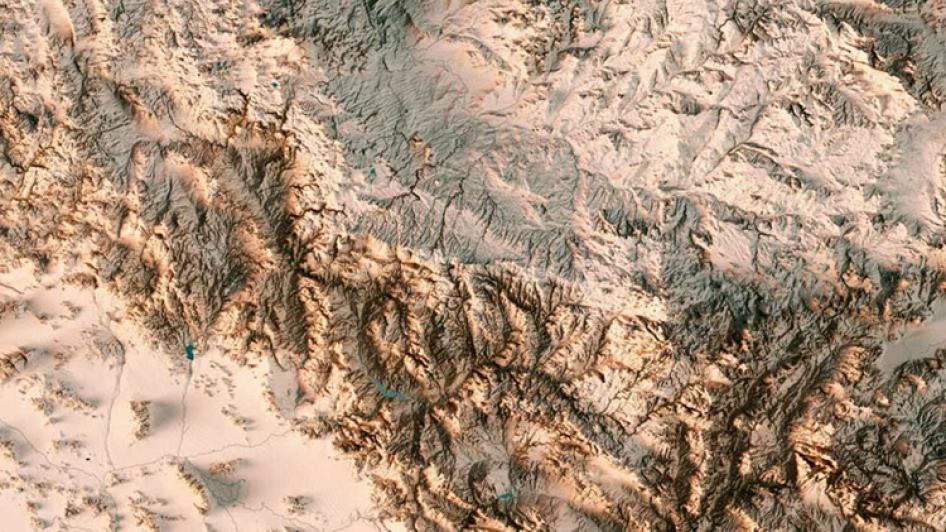
This bachelor’s degree program, offered by one of the top 10 geography schools in the nation, gives you the tools to map your own path. Geographic Information Systems Technology (GIST) is on the rise in every industry, so you’ll have career options ranging from app developer to volcanologist.
Arizona’s program stands out from the pack via expert faculty who balance GIST fundamentals with key growth areas, allowing students to gain the experience needed to enter the high-tech workforce. This is achieved by emphasizing cutting-edge coursework in cartography, geo-visualization, web and mobile applications, and open source programming, all of which give you an edge over the competition. We also offer a strong remote sensing science component developed by top research faculty.
This undergraduate program focuses on professional GIS and applied GIS, which are vital for students looking to obtain a job right out of college. You’ll complete applied, project-based coursework and a senior capstone project tailored to you and the professional skills you want to build for your career. Arizona’s GIST programs are based on the U.S. Department of Labor’s Geospatial Technology Competency Model, meaning you’ll have a clear path to your career as soon as you graduate.
This College of Social and Behavioral Sciences major requires a minor (or double major).
The BS-GIST is a 120-credit hour bachelor’s degree program. Students take 14 classes in their major, training in GISystems and technologies, basic programming for GIS, and application of GIST to web and mobile environments.
GIST students will be using ESRI software, which requires a Windows-based computer. Check your computer's ability to run ArcGIS Pro 2.0.
*Residents of some U.S. Territories may not be eligible. Please see our Eligibility & State Authorization page for more information.
The curriculum for this program includes:
Skills
Earning your Bachelor of Science in Geographic Information Systems Technology will build core skills, including:
- ArcGIS Pro and ArcGIS Online
- Data science
- Data visualization
- Geoprocessing
- GIS analysis
- Python programming
- Quality assurance and control
- Remote sensing
- Web mapping
Listen UA GIST Podcast
Tune in to the GIST podcast for conversations with alumni and specialists in the geospatial industry across the state of Arizona and beyond.